Reproducible experimentation is a cornerstone of the scientific method. But collecting robotics data is hard! As part of our research, we have released several open source robotics datasets for community use, to help drive the field forward.
-
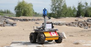
Canadian Planetary Emulation Terrain Energy-Aware Rover Navigation Dataset
This dataset was collected at the Canadian Space Agency’s Mars Emulation Terrain near Montreal, Quebec, using a rover platform equipped with a unique suite of sensors including: power consumption monitors, a pyranometer, an 10-unit omnidirectional stereo camera, a monocular camera, GPS, IMU and more. Aerial maps of the environment including colour, elevation, slope, and aspect views are also available. The complete dataset is more than 1 TB in size and includes six complete traverses. ROSBag format data are available. -
University of Toronto Foot-Mounted Inertial Navigation Dataset
This dataset consists of inertial measurements from a foot-mounted (IMU), captured in a variety of environments and with test subjects performing various motions. The complete dataset covers more than 7.6 km, with measurements from five different subjects. Along with the IMU data, we provide ground truth positioning information (in varying forms) to enable the evaluation of zero-velocity-aided, foot-mounted inertial navigation systems (INS). Motions include walking, running, crawling, and stair-climbing.